Sorry we could not find this article. It may have expired.


When schools return this September, eight local students will be better pre...
Hospice Huntsville is inviting residents to participate in the 15th Annual ...
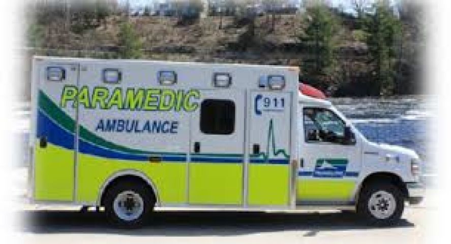
Muskoka Paramedic Services reported a 14.1% increase in calls in 2023 compa...
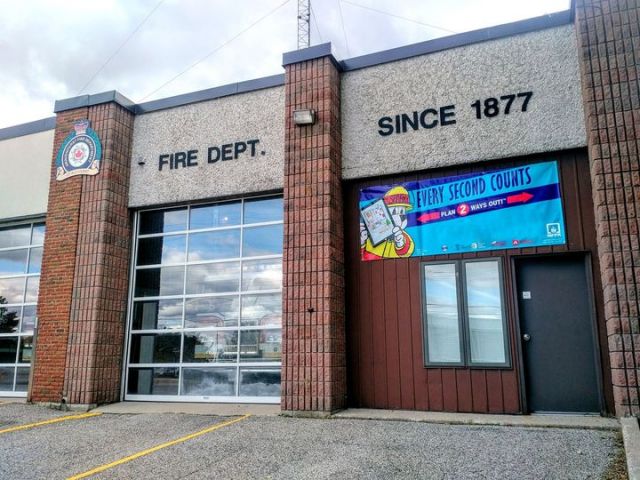
The Town of Gravenhurst will invest over $750K in a new fire truck. Fire Ch...

The Flood Watch Bulletin issued by the Ministry of Natural Resources and Fo...

The Repeat Offender Parole Enforcement Squad is requesting the public's ass...
Hunters Bay Radio is Muskoka’s not-for-profit Community Radio Station and the only radio station in Muskoka that is truly locally owned. We operate with a contingent of over 50 staff and volunteers. We fill a void in the local media by providing a wide variety of music and community programming, not otherwise available in the region.