


The updated platform allows users to overlay data layers and create printable maps
The Town of Huntsville has launched a new online mapping webpage designed to make local information easier to access.
The site features the Town of Huntsville Map Explorer, an updated interactive mapping platform that allows residents, businesses and visitors to explore detailed geographic data across the community.
Users can look up community planning permit areas, heritage-designated properties, and short-term rental locations. The tool also highlights parks, trails, town-owned properties, transit routes and accessibility features.
Officials say the platform also allows users to overlay data layers and create printable maps. The new mapping hub is now available through the Town of Huntsville’s website.
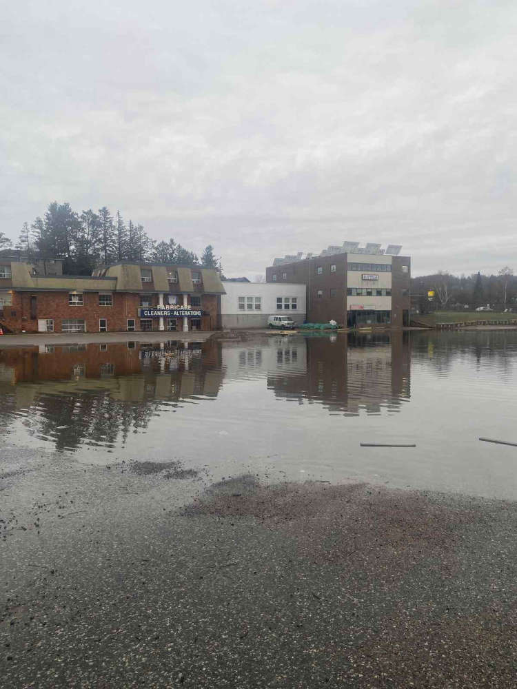 Flood Update for April 19th - Huntsville
 Smith announces more funding for primary care in Parry Sound Muskoka
 Community clean up planned for Earth Week
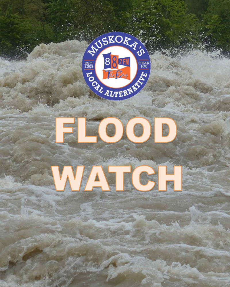
 Lake of Bays monitoring trouble spots as water rises
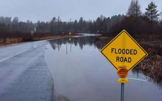
 Flood warning in place until April 22nd


Comments
Add a comment